Showing posts with label maps. Show all posts

Wednesday, 4 November 2015

Here is a little intro:


And here is my concern:

There are 4-5 km between the end of the lake and the tongue of the glacier. So Vicki (Victoria) is nearly 6km from the face of the Victoria glacier.


The first map shows the bee hive which I reach in 1993 but not again since.


It is an incredible feeling, being at the water's edge and looking over the lip at the distant hills.Maybe I can find the film and get it digitized.

So back to the Victoria Glacier.  The angle changes as I walk along the lake shore and also the scale. I also use a 18-200mm Sigma DC zoom.

Enjoy while it lasts.


I'll do the south shore another time.

W O B

Monday, 9 February 2015

Sunday Snowshoe Outing

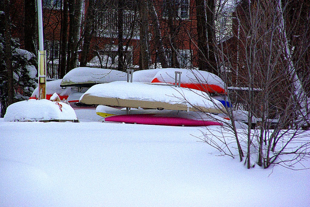
Got off my fanny yesterday afternoon and ventured out against the wind on snowshoes for the first time this winter. Snow was deep:


So I did not go far:


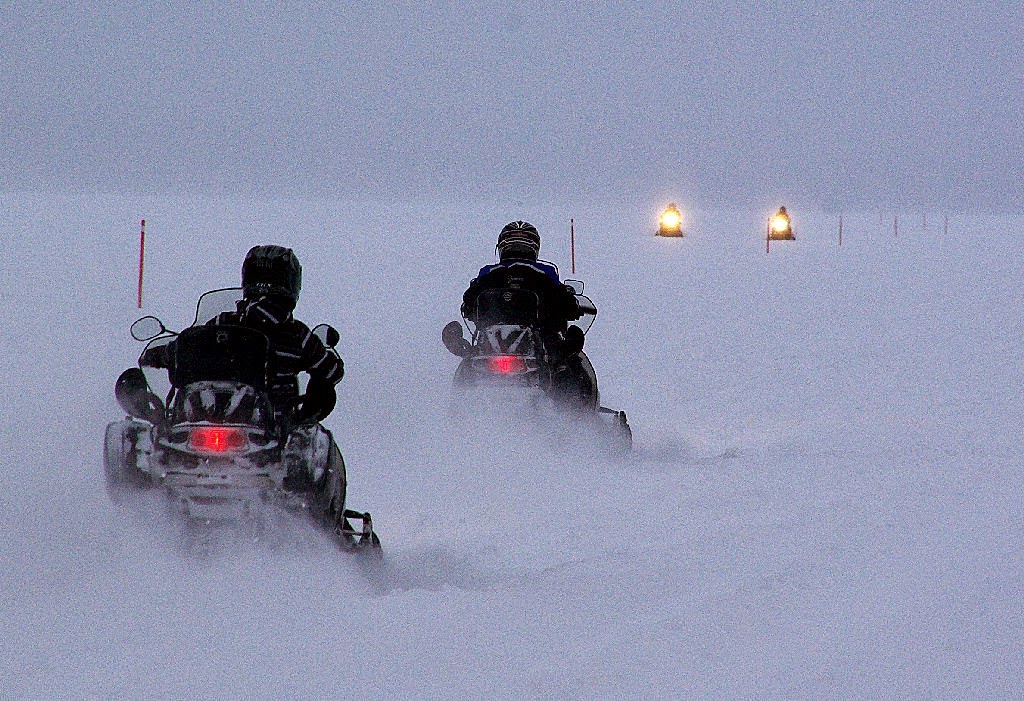
Not as far as these people:


Now if they were only solar-powered! Looks like a lot of (cold) fun.
They have 1000s of km of trails. Here are a few maps of just our 60 X 50km region:


With rhe snow so deep now, I can only ski on either groomed trails or where the snowmobiles have been - I trust they work during the week? So I am off to a trail not on the above maps, the rail trail south to Barrie. I hope to ski some 6-10K, with camera! Have a good week -wob